Blog home / Traveller's Tale: Exploring Britain's Early History along Hadrian's Wall
Walking Hadrian's Wall Path and Exploring Britain's Early History
What is it really like to walk the length of Hadrian's Wall? Peter Wells shares his experience from a recent journey along this historic National Path.
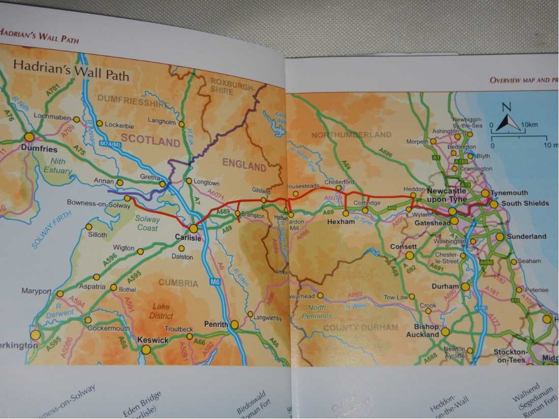
In May 2025, I joined a group organised by Walkers' Britain & Europe to walk and explore the world-famous Hadrian's Wall National Path in northern England. Remains of this Roman wall stretch 73 miles (117km) from Wallsend (Segedunum), east of Newcastle-upon-Tyne on the North Sea coast, to Bowness-on-Solway on the Solway Firth west of Carlisle. The wall crosses the largely rural counties of Northumberland and Cumbria. The path itself is 84 miles (135km), with side trips to accommodation often adding a few more steps. Thankfully, every inn and hotel along the way offered drinks, good food and a comfortable bed.
History
Hadrian's Wall was designated a UNESCO World Heritage Site in 1987. Construction began in AD 122 at the bequest of Roman Emperor Hadrian, involving 15,000 soldiers from three legions and numerous conscripts. Together they built the wall with its fortifications and watchtowers across the undulating and wild landscape, designed to monitor the movements of and prevent incursions by the Highland clans from what is now Scotland. The wall and its fortresses marked the most northern extent of Roman Britannia.
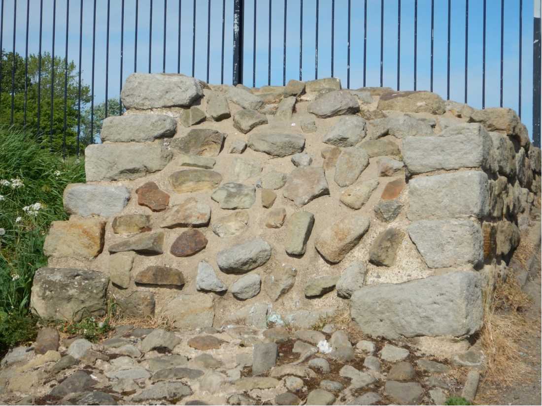
Many remnants of the wall, its forts, smaller mile-castles, turrets and vallums (large defensive ditches) survive, particularly in the central section, thanks in large part to an enlightened Victorian, John Clayton of Chesters, who purchased the land where they lay. Much of the wall had previously been pillaged over the centuries, its cut stone recycled into village homes, farm buildings and churches. Around Newcastle and at its western end, the wall has largely disappeared.
Walking the Hadrian's Wall Path in whole or in part is a fascinating historical journey. Being easily accessible by car or bus, it attracts thousands of tourists and walkers every year. Several excellent museums along the route illustrate its history, and recent archaeological finds including shoes, inscribed tablets and household items shed light on the lives of the soldiers and their families. Excavations continue to this day.
Starting at Wallsend
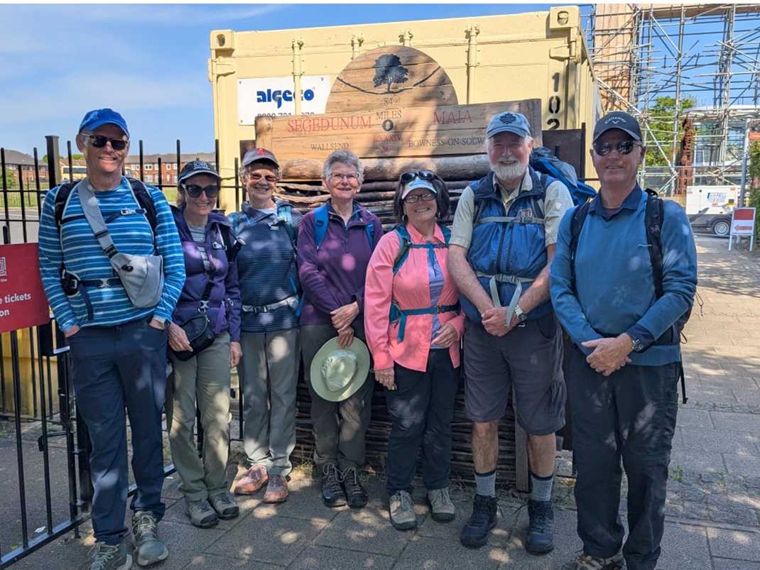
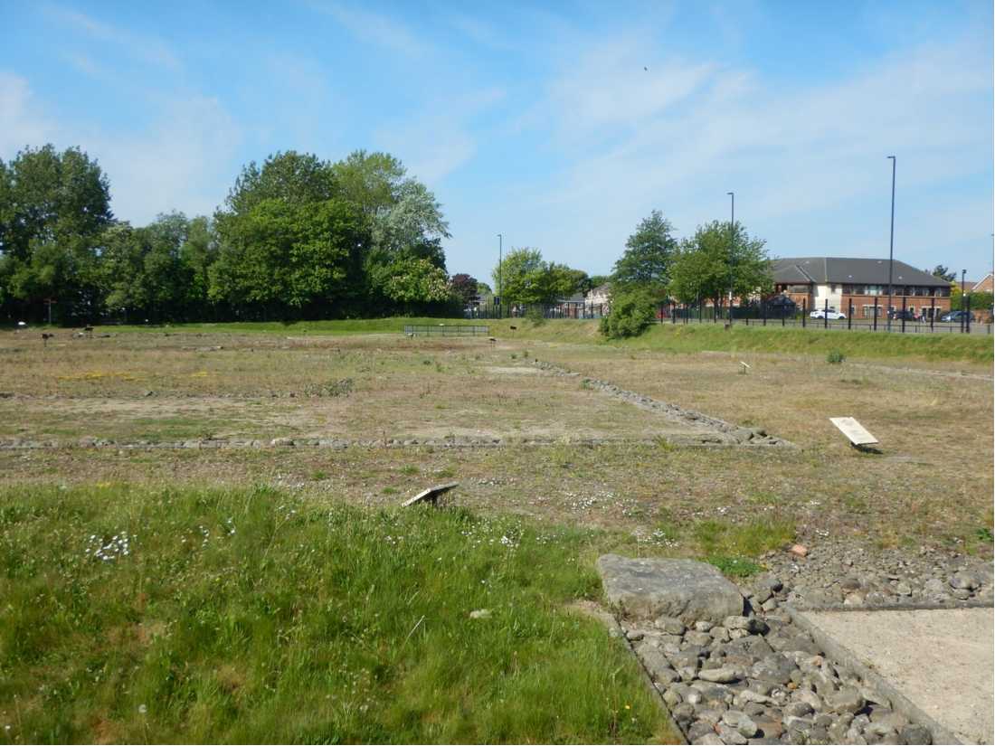
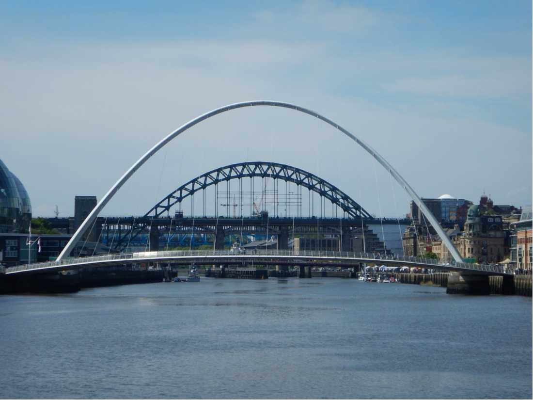
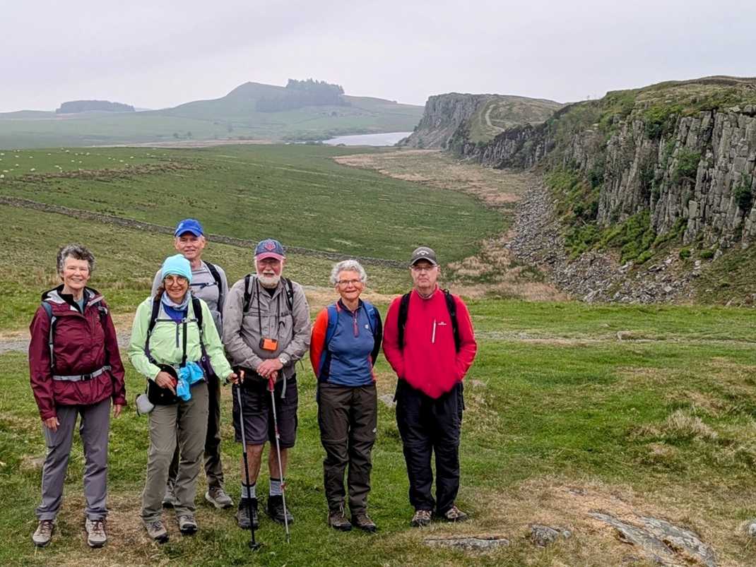
Our walking group met and introduced each other over dinner on a Saturday evening at a B&B in Whitley Bay, near Wallsend. There were three Canadians, two Americans, one Australian, one British walker and our British guide John, all experienced walkers. Starting out early on a clear Sunday morning, we took the local train to Segedunum at Wallsend, location of a fabulous museum and a large expanse of Roman foundations. We set off on a level footpath running alongside the River Tyne, soon reaching Newcastle, famous for its numerous bridges old and new. We followed the river westward for much of the first day, along park paths, old wagon-ways and some roads, ending in the village of Wylam and its welcoming hotel.
For the whole week, our walk followed the wall's route as closely as possible. We were blessed with fine, dry weather, some days being unusually hot. I wore shorts throughout and rain gear stayed firmly in the pack. We carried plenty of water and ate well — lots of carbohydrates for breakfast, protein for dinner, as the hiker's mantra goes.
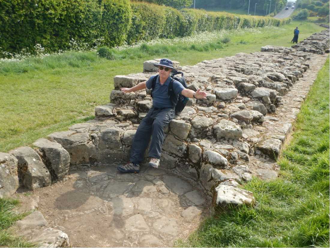
On the second day we gained some elevation and had our first proper viewing of the Roman stone wall in the town of Heddon-on-the-Wall. It was long, impressive and carefully built, with the remains of a built-in kiln. We walked all day along roads, farm fields and through woods before crossing an ancient bridge over the North Tyne river to Chollerford and the George Hotel for our second night.
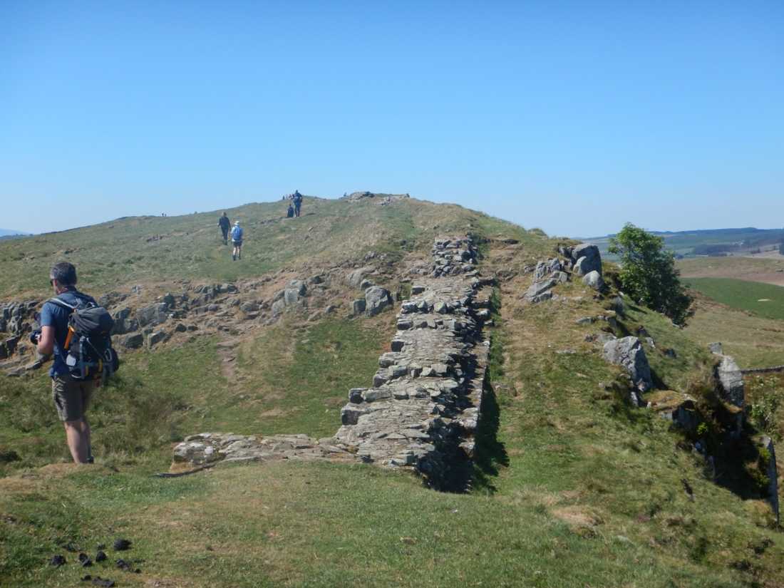
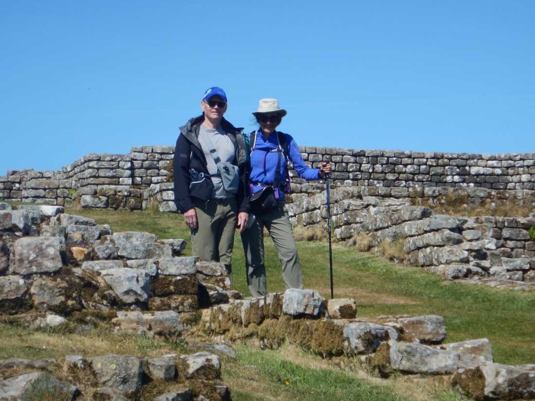
Our little group had bonded well by this point, sharing personal stories and supporting each other along the way, led by our knowledgeable and energetic guide. The third and fourth days in central Northumberland revealed much of the surviving wall and its associated structures, and illustrated the extraordinary effort it took to build. The terrain is quite rugged and undulating, rough underfoot and wonderfully scenic. The remoteness and beauty of this section were the undoubted highlights of the walk.
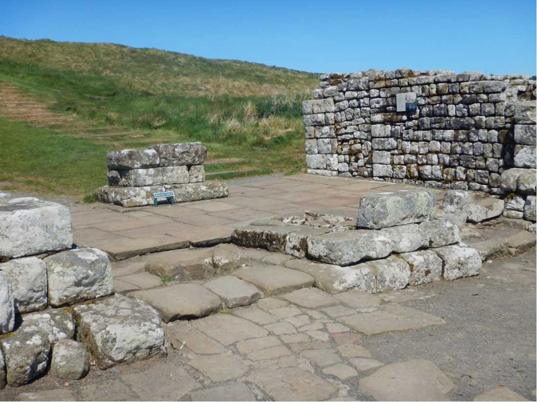
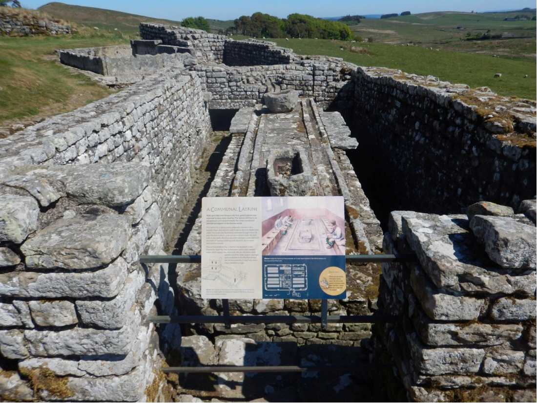
We lunched at Housesteads, site of a massive fort with the foundations of granaries, latrines and associated buildings still clearly visible. A brief visit to the National Trust museum and a wander around this enormous site gives a vivid sense of life on the frontier of Roman Britannia. It was impressive and memorable.
Sycamore Gap
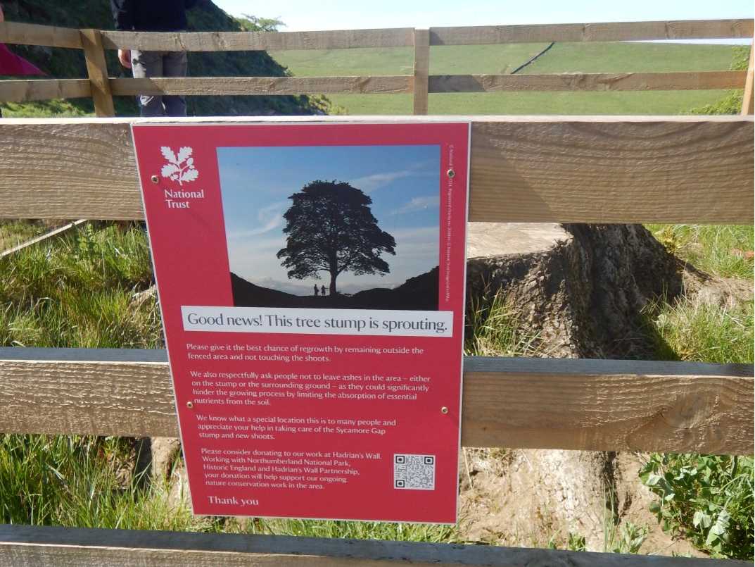
Late on the third day we reached the picturesque Sycamore Gap. The iconic tree had been vandalised recently and its stump now sits in an enclosure — a sad sight. A few people had gathered, treating the area as a kind of shrine. But the Gap itself is still beautiful, with views in all directions. We left the path to stay at the Twice Brewed Inn, with its specially named local ales, some commemorating the missing tree. Most of the team went stargazing at the nearby observatory; after a long day, I chose my pillow instead.
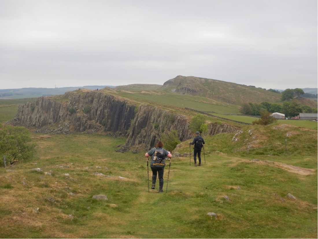
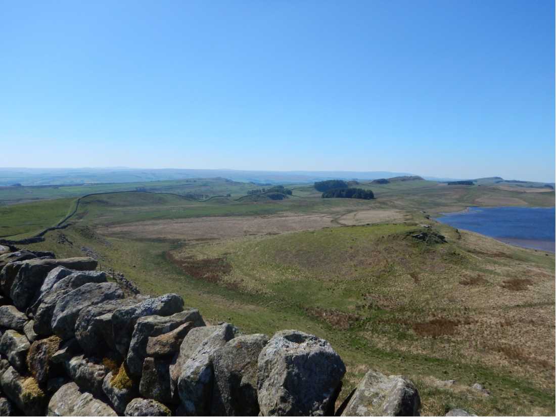
Day four was also long and demanding, crossing many small rocky crags and passing above what were likely old quarries. It was the most picturesque and rugged section of the entire walk. It is remarkable to think that the Romans built the wall and dug the ditches across such challenging terrain, the heights presumably considered more defensible. The day ended in the picturesque town of Brampton and the Victorian Howard Arms Hotel, with dinner, lively conversation and another early night.
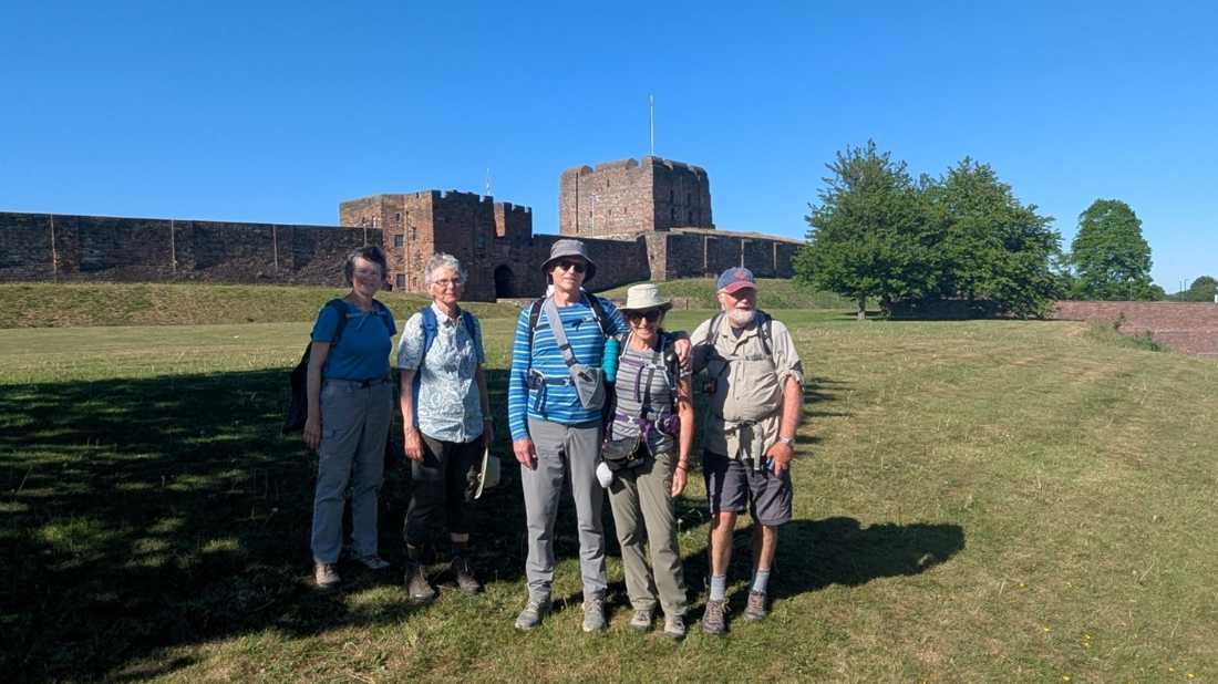
The fifth day took us into the Cumbrian countryside, across farms and along field paths. We passed countless sheep and lambs, and one field even had friendly llamas. Some long stretches of road walking at a good pace eventually brought us to the wooded outskirts of historic Carlisle and its picturesque River Eden.
Final Stamps
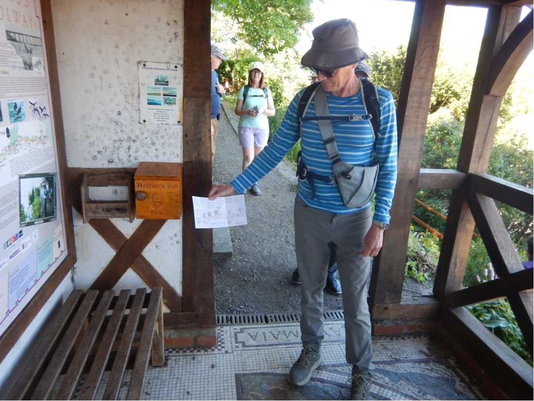
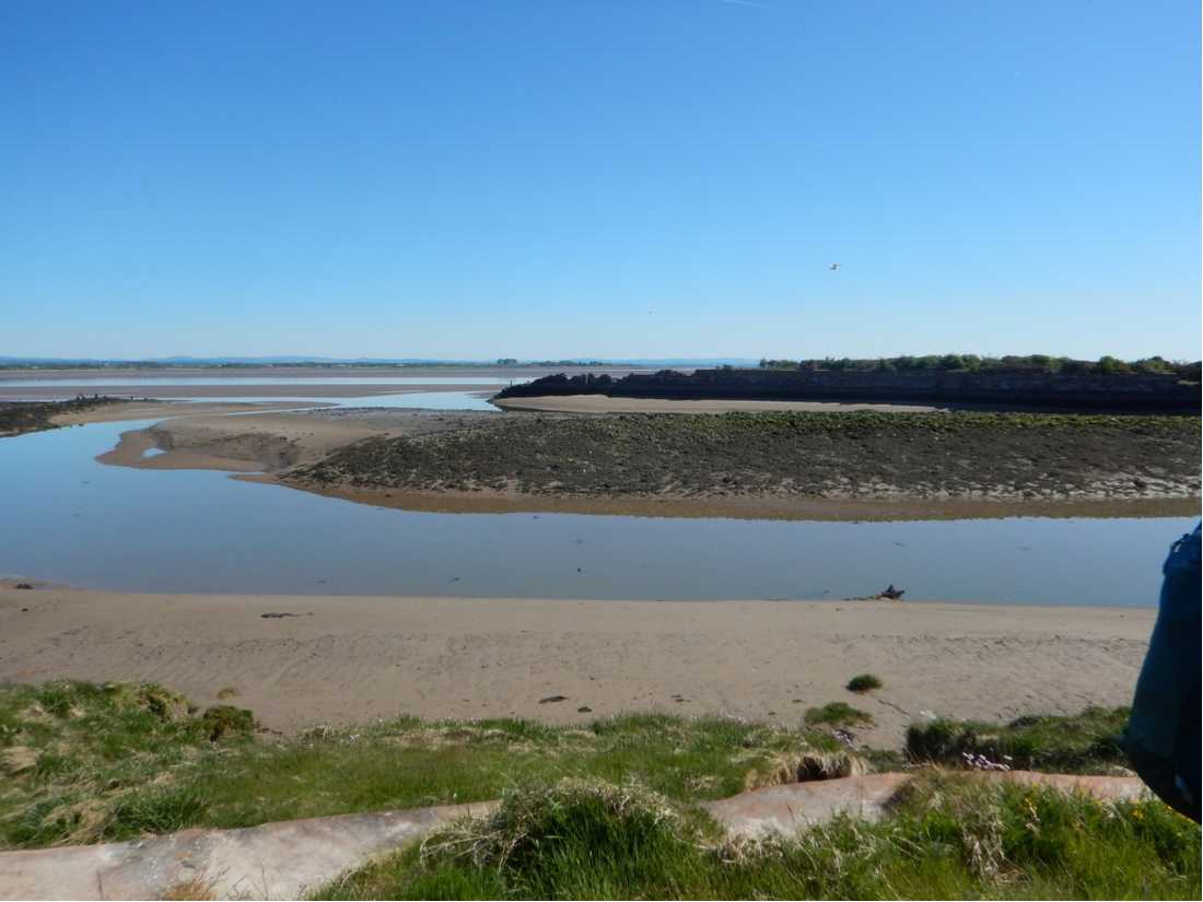
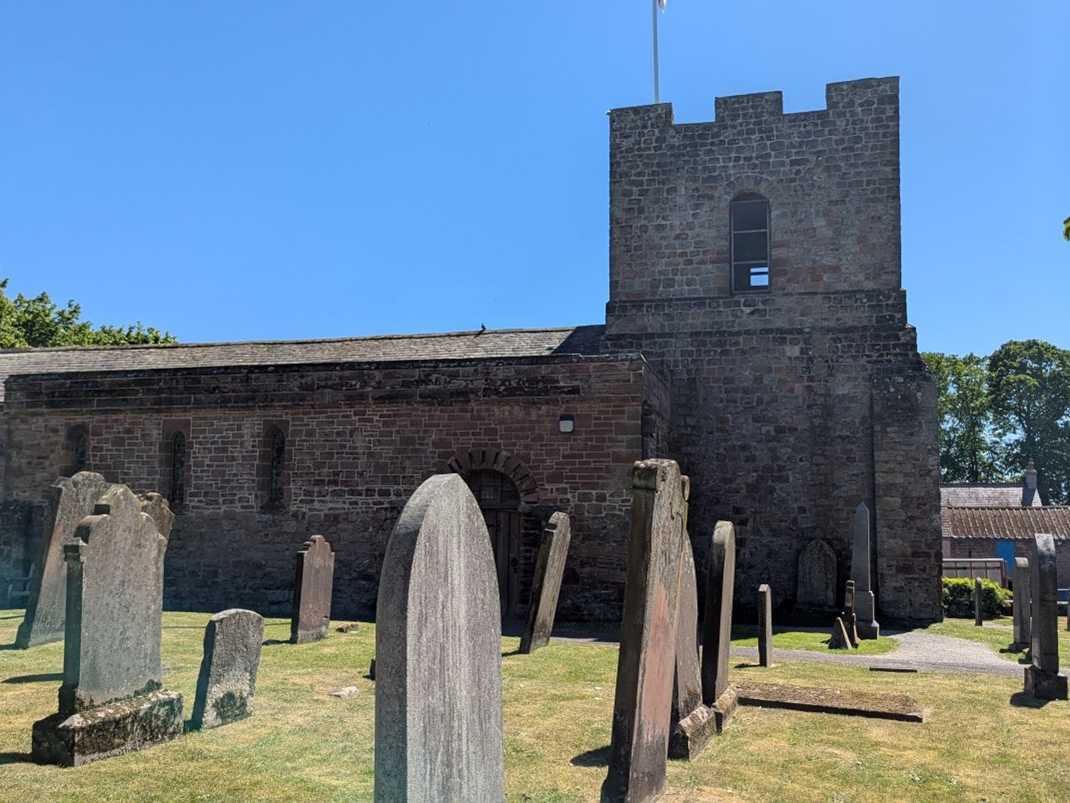
Our final day began with a bus ride to Bowness-on-Solway on the Solway Firth, the official end and start of the path. We lined up for stamps in our National Trail Passports before setting off in sunshine on the 23km walk back towards Carlisle, alongside the long, muddy tidal estuary, then through woods, fields and along roads. Mid-afternoon brought a welcome rest stop for ice cream in the ancient village of Beaumont, with its medieval church built on the ruins of a Roman fort. The day finished in Carlisle with a brief look at its castle and a visit to the cathedral, followed by a celebratory dinner at an Italian restaurant.
Early the next morning we said our goodbyes over breakfast, celebrating the end of a marvellous week of walking and exploring, and promised to stay in touch and exchange photos. Inspired by the variety of long-distance paths in the UK, its history and its friendly people, another adventure is already beckoning.
>> View all Hadrian's Wall walking holidays